Leveraging technology for success
Offering solutions to our clients through the use of leading design software, GPS machine controls, and advanced drone technology. These tools help us to complete work both efficiently and accurately.
Why Morgan
Harnessing the power of GPS technology
The advantages and benefits that come with using Global Positioning System (GPS) Machine Control on your project are numerous and far-reaching, providing a higher level of accuracy, efficiency, and cost-effectiveness.
Utilizing specialized equipment to its full potential
Trimble Earthworks, and Trimble GCS900-grade controlled graders, excavators, and dozers.
Mapping in real time
Near real-time mapping that allows designs to be loaded through seamless two-way communication.
Precision and accuracy
Ability to efficiently and accurately place materials to design grades with centimeter-level precision.
Industry Leading Tools
Specialized Drones
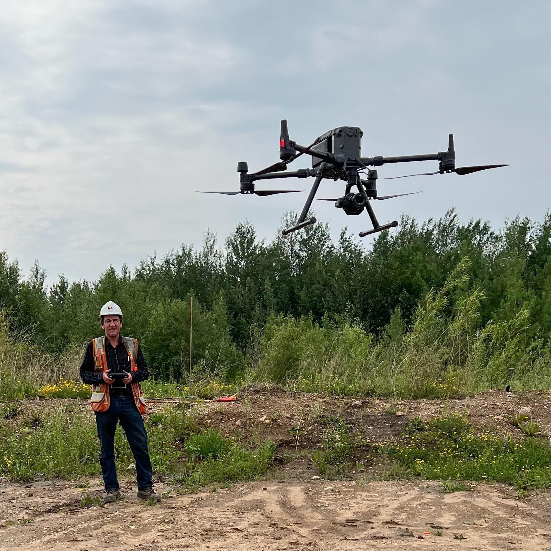
Our Advanced Canadian Drone Pilot License allows us to fly in controlled airspace under the SFOC (Special Flight Operations Certificate) by Transport Canada. Equipped with high-resolution imaging and 4K video capabilities, we provide controlled airspace flights for ground elevation mapping, end-to-end inspection, and more with our Matrice M300 RTK, Matrice M210 RTK, and Inspire 2 drones.

Industry Leading Tools
Thermal Scanning
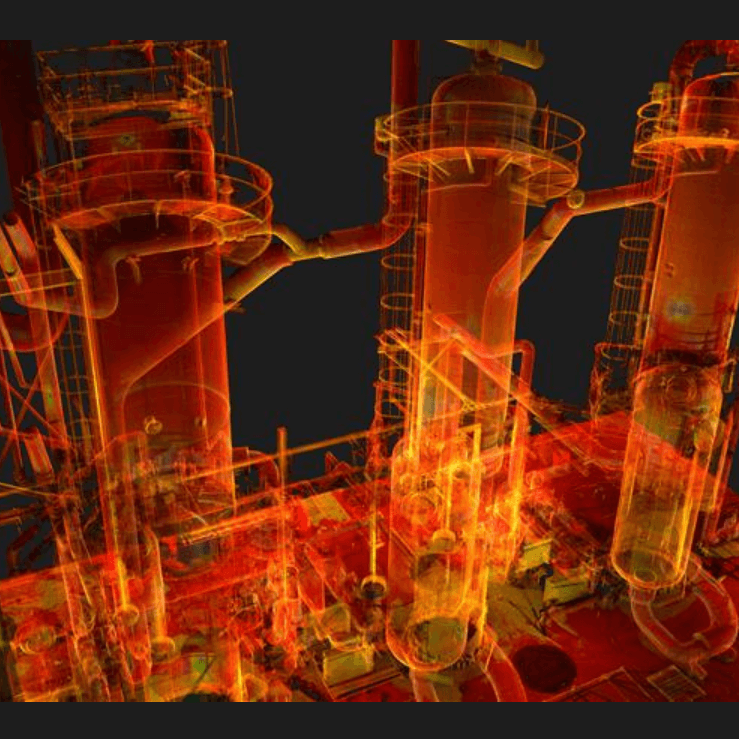
Our field surveyors use drones for thermal imaging and scanning of existing plant facilities, such as structures, towers, and pipelines. Equipped with a Lidar scanner and thermal camera, our drones, in combination with laser scanner data from the ground crew, create detailed point cloud and 3D images for accurate as-built data.

By the numbers
We don’t just say, we do
- Advanced certified drone pilots
- 0
- Hours of flight time
- 0+
- Full RTK Base and Rover setups
- 0
- 4k drone videos and images captured
- 0K